

Description
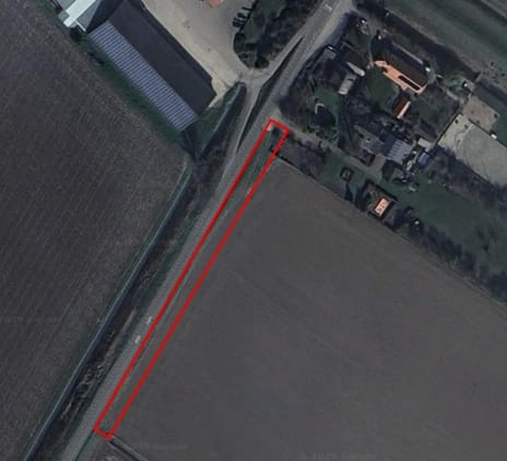
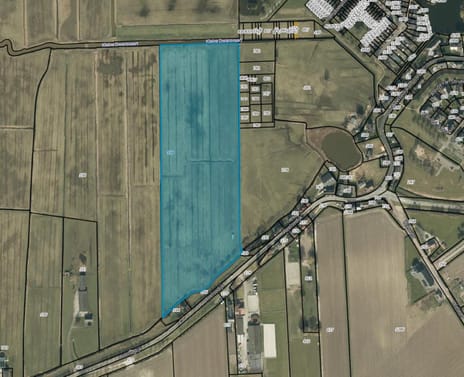
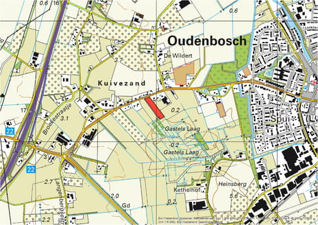
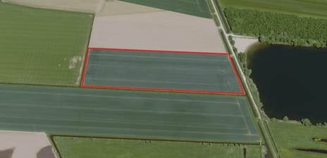
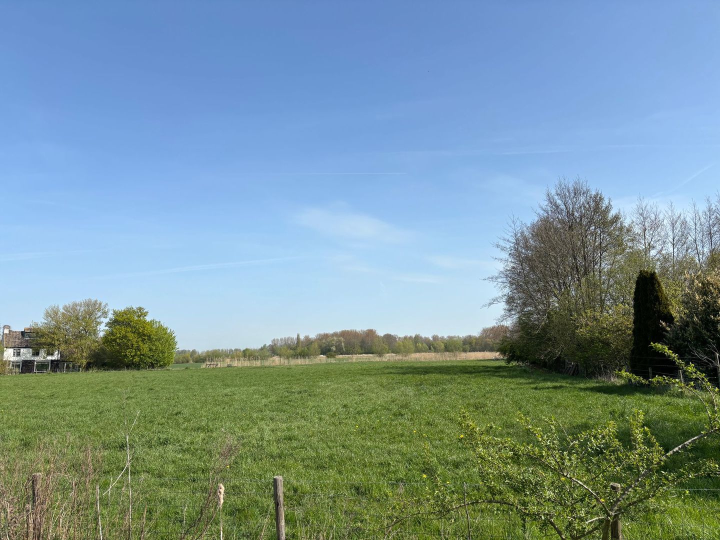
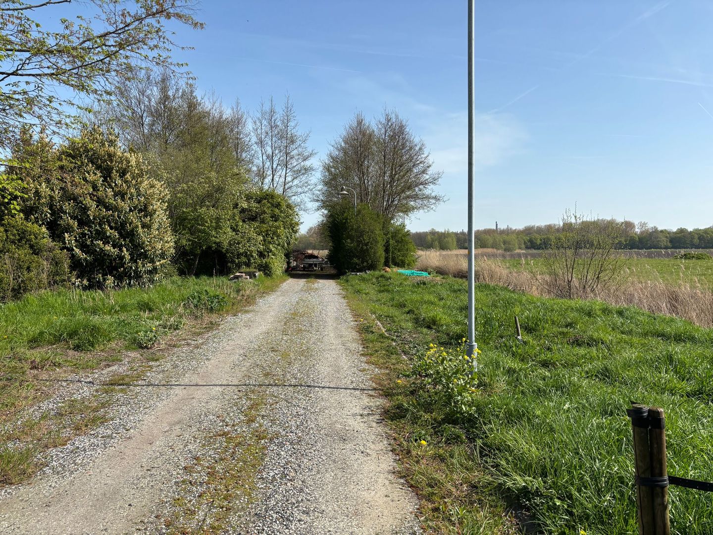
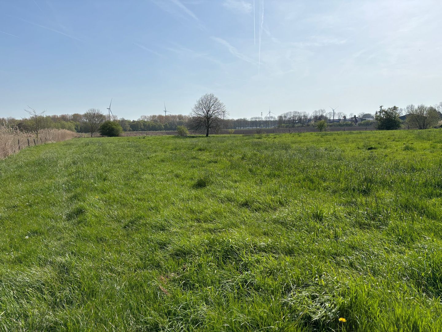
Net buiten Klundert gelegen een perceel lichte kleigrond met een oppervlakte van 01.42.62 ha. Dit perceel is direct aan de openbare verharde weg gelegen en is in gebruik als weiland en momenteel deels in gebruik als opslagplaats voor snoeiafval.
Het perceel is voorzien van een electra-aansluiting en drainage. Deze drainage is ongeveer 20 jaar oud maar functioneert nog naar behoren.
Bestemmingsplan
Het perceel heeft een agrarische bestemming met de volgende aanduidingen:
Bestemmingsvlakken (2)
- Waarde - Archeologie 6
- Agrarisch
Gebiedsaanduidingen (1)
- overige zone - schootsveld
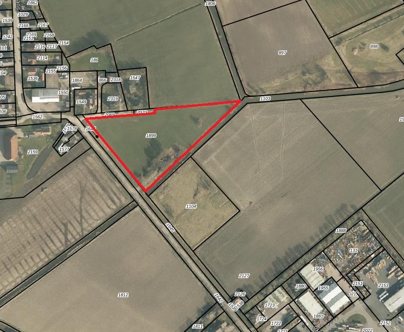
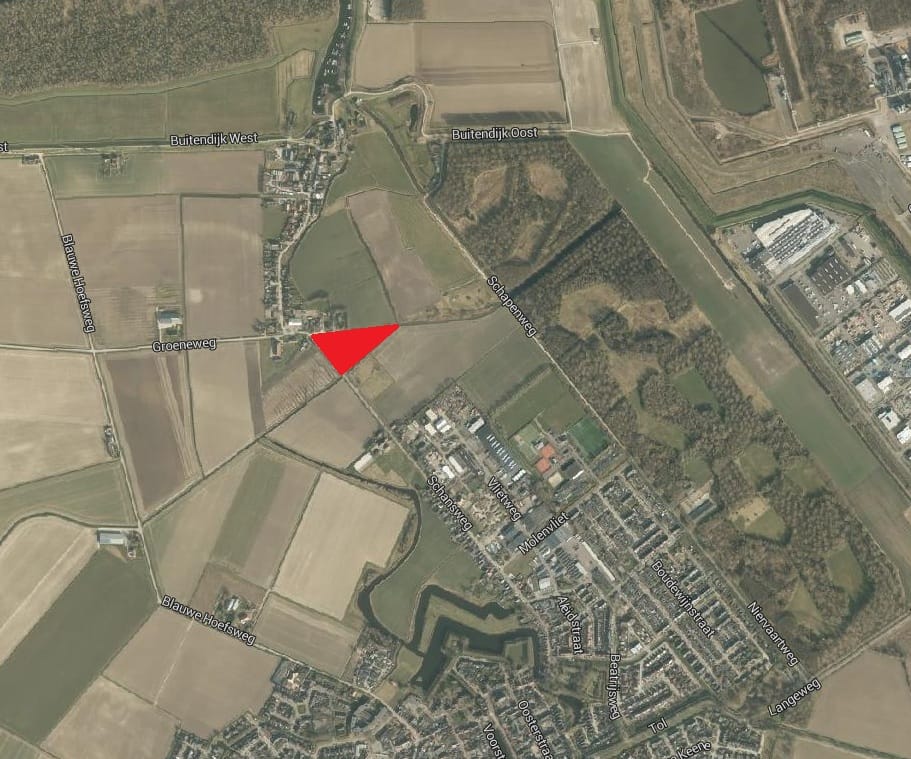
Kadastrale gegevens:
Klundert, sectie B, nummer 1899, groot 01.42.62 ha.
Waterschapslasten:
€ 97,06 / ha (tarief 2026)
Het perceel is voorzien van een electra-aansluiting en drainage. Deze drainage is ongeveer 20 jaar oud maar functioneert nog naar behoren.
Bestemmingsplan
Het perceel heeft een agrarische bestemming met de volgende aanduidingen:
Bestemmingsvlakken (2)
- Waarde - Archeologie 6
- Agrarisch
Gebiedsaanduidingen (1)
- overige zone - schootsveld
Kadastrale gegevens:
Klundert, sectie B, nummer 1899, groot 01.42.62 ha.
Waterschapslasten:
€ 97,06 / ha (tarief 2026)
Map
Map is loading...

Cadastral boundaries
Buildings
Travel time
Gain insight into the reachability of this object, for instance from a public transport station or a home address.