
Description
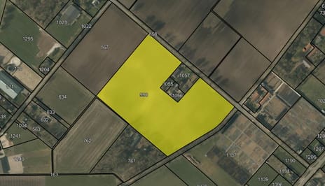
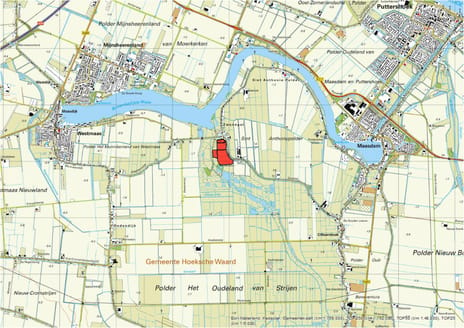
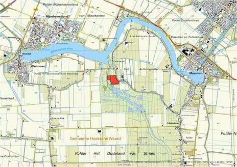
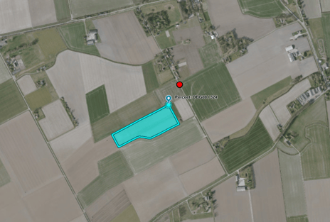
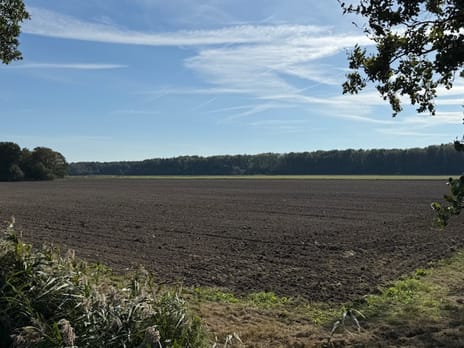
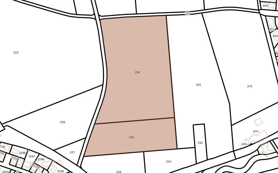
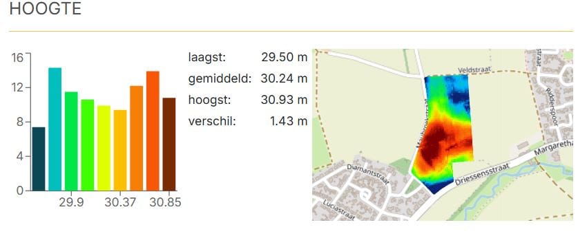
Het perceel is ontsloten aan de Maubroekstraat te Neeritter en betreft een landbouwperceel met een oppervlakte van 4.84.59 ha.
De bodem betreft zandgrond en bestaat uit Hoge bruine enkeerdgronden; lemig fijn zand met grondwatertrap VII.
Teelten:
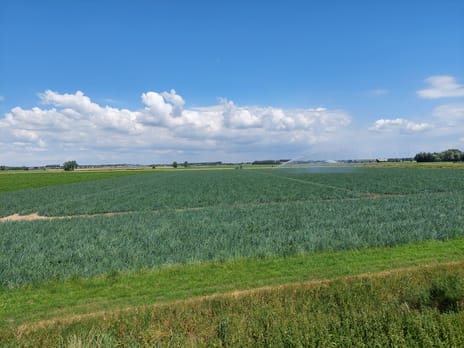
2024 Lelie
2025 Lelie
2026 Schorseneren (op 5 juli jl. is mais gezaaid)
Er is geen geregistreerde grondwaterput aanwezig op perceel.
Er is jachtrecht verhuurd tot en met 31-03-2038.
Planologisch
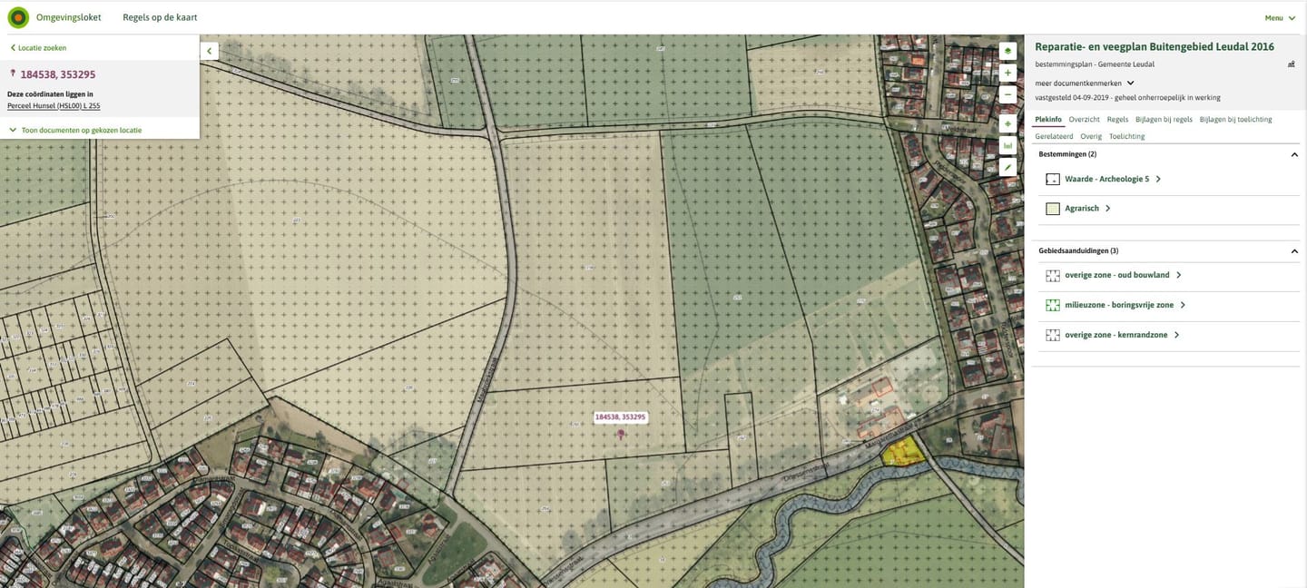
Het perceel is gelegen in het bestemmingsplan 'Reparatie- en veegplan Buitengebied Leudal 2016' van de gemeente Leudal. Binnen dit bestemmingsplan heeft het perceel de enkelbestemming 'Agrarisch', de dubbelbestemmingen 'Waarde - Archeologie 5' en de gebiedsaanduiding 'Overige zone - oud bouwland', 'Milieuzone - boringsvrije zone', en 'Overige zone - Kernrandzone.
Kadastrale gegevens
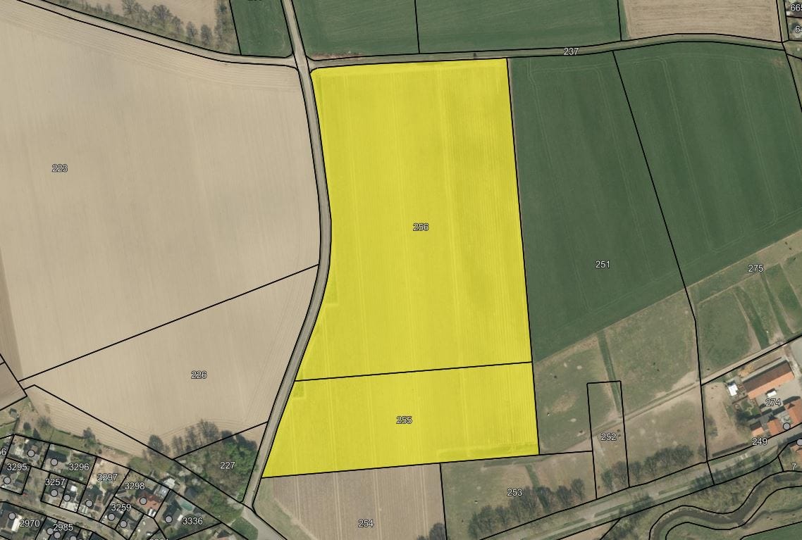
Het perceel is kadastraal bekend als gemeente Hunsel, sectie L, nummers 255 en 256 ter grootte van 4.84.59 ha.
De bodem betreft zandgrond en bestaat uit Hoge bruine enkeerdgronden; lemig fijn zand met grondwatertrap VII.
Teelten:
2024 Lelie
2025 Lelie
2026 Schorseneren (op 5 juli jl. is mais gezaaid)
Er is geen geregistreerde grondwaterput aanwezig op perceel.
Er is jachtrecht verhuurd tot en met 31-03-2038.
Planologisch
Het perceel is gelegen in het bestemmingsplan 'Reparatie- en veegplan Buitengebied Leudal 2016' van de gemeente Leudal. Binnen dit bestemmingsplan heeft het perceel de enkelbestemming 'Agrarisch', de dubbelbestemmingen 'Waarde - Archeologie 5' en de gebiedsaanduiding 'Overige zone - oud bouwland', 'Milieuzone - boringsvrije zone', en 'Overige zone - Kernrandzone.
Kadastrale gegevens
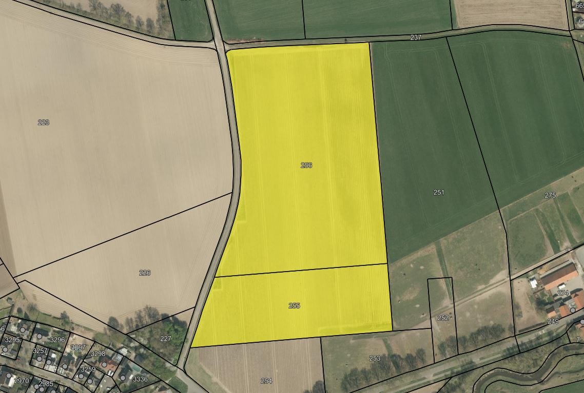
Het perceel is kadastraal bekend als gemeente Hunsel, sectie L, nummers 255 en 256 ter grootte van 4.84.59 ha.

Map
Map is loading...

Cadastral boundaries
Buildings
Travel time
Gain insight into the reachability of this object, for instance from a public transport station or a home address.