
Description
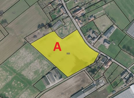
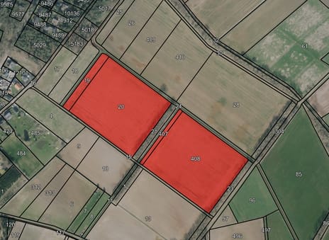
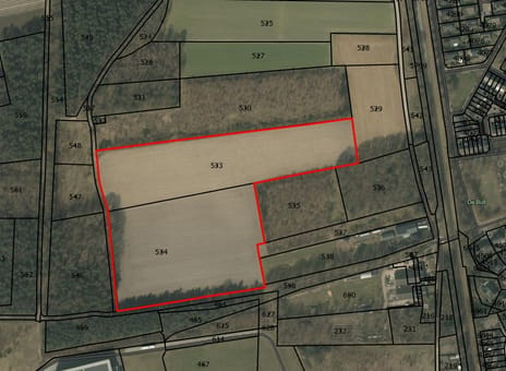
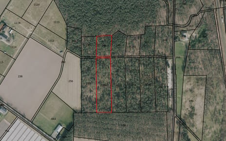
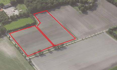
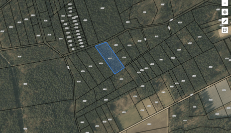
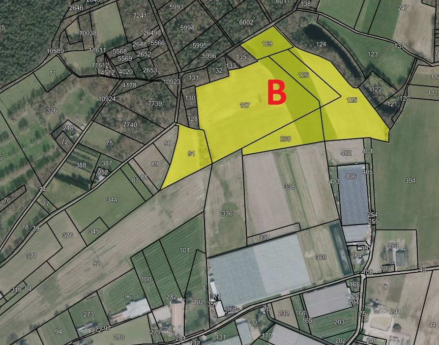
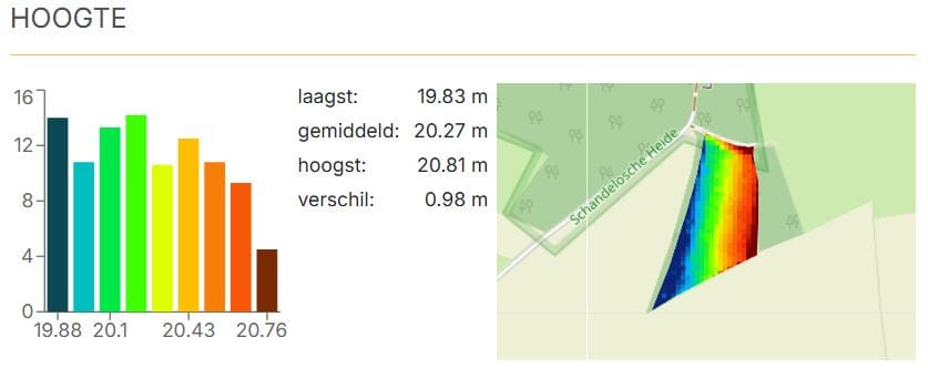
Het perceel is ontsloten aan de Leikoelseweg te Velden en betreft een landbouwperceel met een oppervlakte van 15.07.21 ha.
De bodem bestaat uit Hoge bruine enkeerdgronden; grof zand; zandgrond en zavel met grondwatertrap VI en V.
Teelten:
2024: Maïs en grasland
2025: Maïs en aardappelen
2026: Grasland en aardappelen
Er zijn 2 geregistreerde grondwaterputten aanwezig op perceel (1 wit label en 1 blauw label).
Kadastrale gegevens
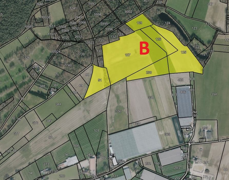
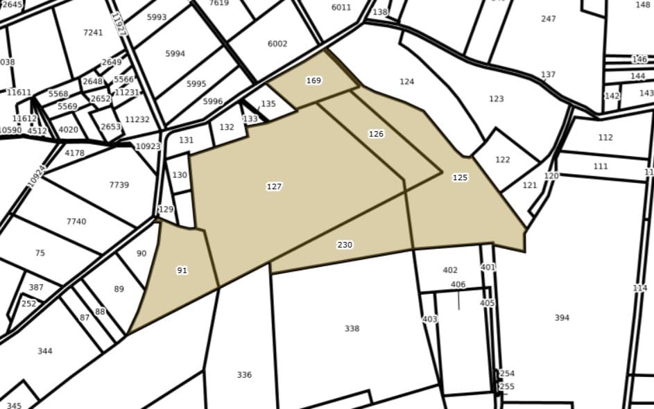
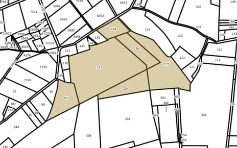
Het perceel is kadastraal bekend als gemeente Arcen en Velden, sectie I, nummers 91, 125, 126, 127, 169, 230 ter grootte van 15.07.21 ha.
De bodem bestaat uit Hoge bruine enkeerdgronden; grof zand; zandgrond en zavel met grondwatertrap VI en V.
Teelten:
2024: Maïs en grasland
2025: Maïs en aardappelen
2026: Grasland en aardappelen
Er zijn 2 geregistreerde grondwaterputten aanwezig op perceel (1 wit label en 1 blauw label).
Kadastrale gegevens
Het perceel is kadastraal bekend als gemeente Arcen en Velden, sectie I, nummers 91, 125, 126, 127, 169, 230 ter grootte van 15.07.21 ha.

Map
Map is loading...

Cadastral boundaries
Buildings
Travel time
Gain insight into the reachability of this object, for instance from a public transport station or a home address.