
Sales history
- Listed since
- October 21, 2025
Description
Twee kavels landbouwgrond, de grondsoort is klei.
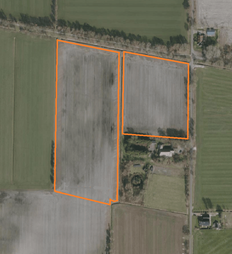
Totale kadastrale oppervlakte circa 12,15 ha, gelegen nabij de Westerhornerweg 26 te Grijpskerk.
De grond is verdeeld over twee kavels.
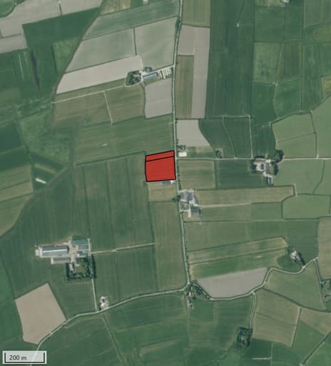
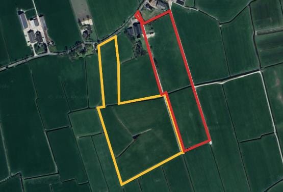
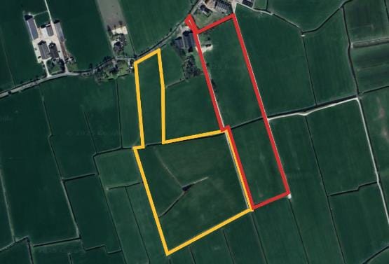
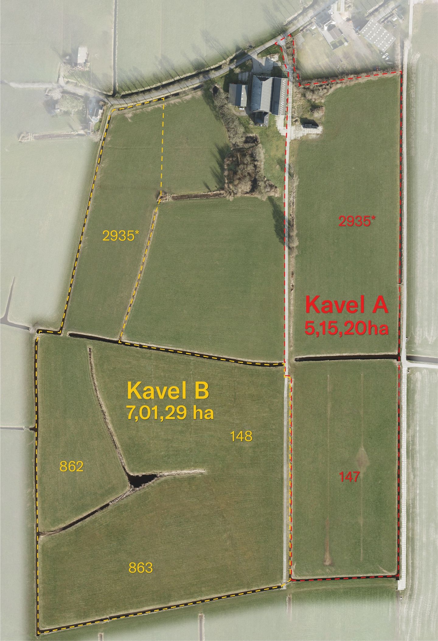
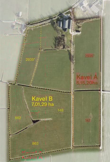
Kavel A (rood op de kaart)
Grijpskerk E 2935 (ged), Grijpskerk E 147, Grijpskerk E 148 (ged). Totaal 5.15.20 ha
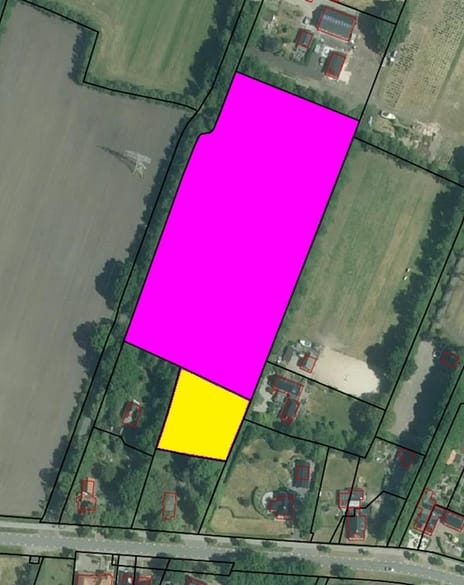
Kavel B (geel op de kaart)
Grijpskerk E 2935 (ged), Grijpskerk E 148 (ged) Grijpskerk E 862, Grijpskerk E 863.
Totaal 7.01.29 ha
Verkoop bij inschrijving.
Voor verdere informatie, documentatie en inschrijfformulier kunt u contact met ons opnemen.
De inschrijftermijn sluit op 25 november om 12.00 uur.
Totale kadastrale oppervlakte circa 12,15 ha, gelegen nabij de Westerhornerweg 26 te Grijpskerk.
De grond is verdeeld over twee kavels.
Kavel A (rood op de kaart)
Grijpskerk E 2935 (ged), Grijpskerk E 147, Grijpskerk E 148 (ged). Totaal 5.15.20 ha
Kavel B (geel op de kaart)
Grijpskerk E 2935 (ged), Grijpskerk E 148 (ged) Grijpskerk E 862, Grijpskerk E 863.
Totaal 7.01.29 ha
Verkoop bij inschrijving.
Voor verdere informatie, documentatie en inschrijfformulier kunt u contact met ons opnemen.
De inschrijftermijn sluit op 25 november om 12.00 uur.
Involved real estate agent
Map
Map is loading...

Cadastral boundaries
Buildings
Travel time
Gain insight into the reachability of this object, for instance from a public transport station or a home address.