
Sales history
- Listed since
- June 9, 2026
Description
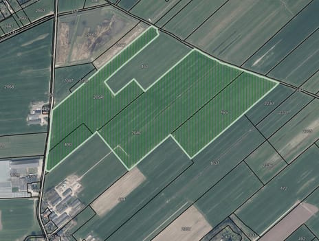
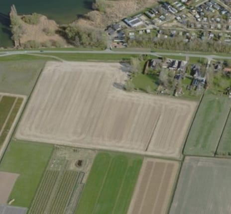
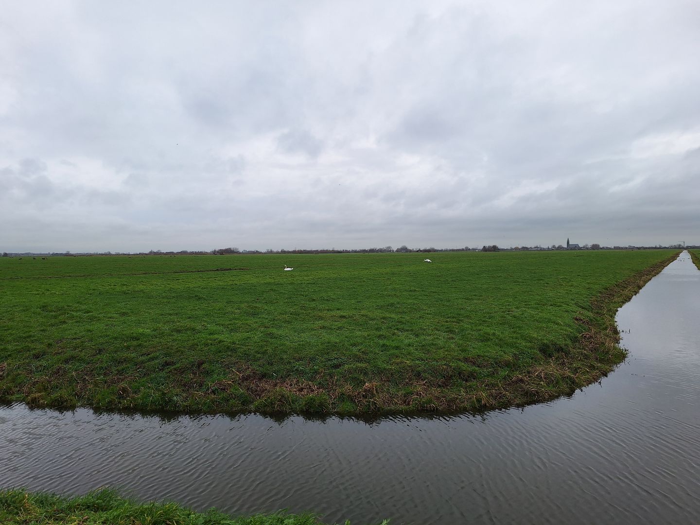
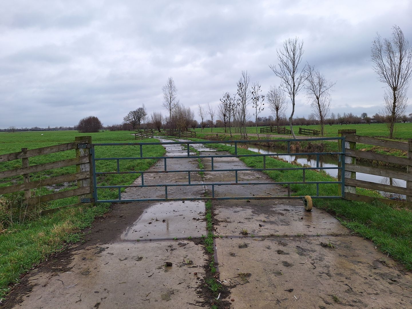
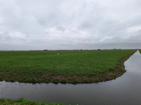
12.31.40 ha grasland
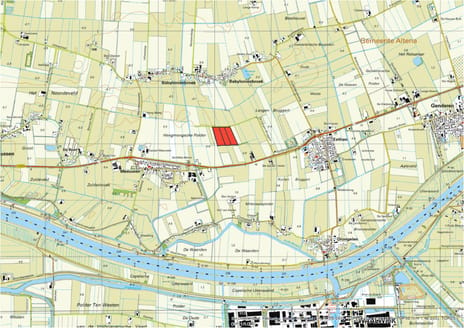
Tiendweg, Lopik
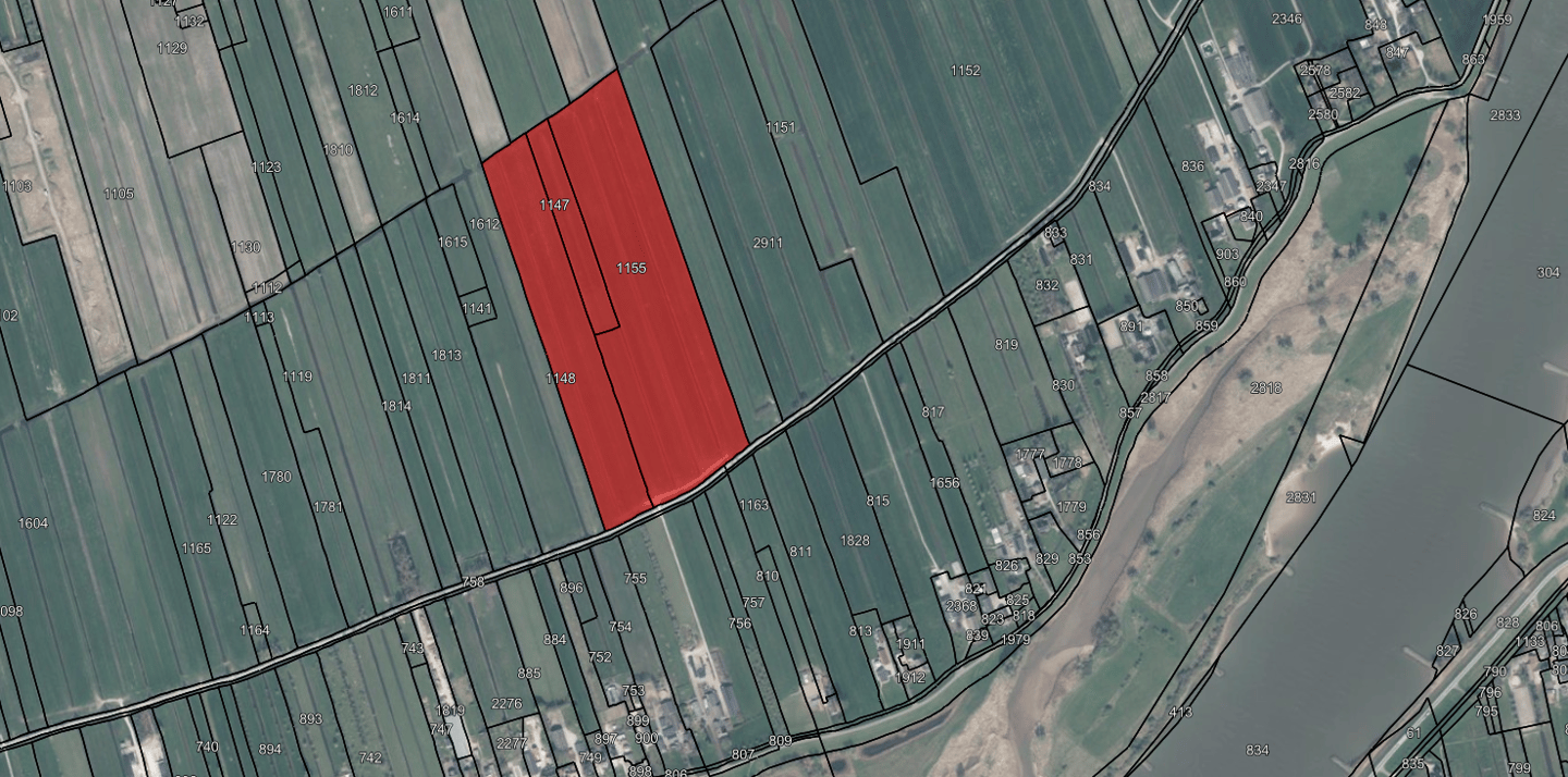
Kadastraal bekend gemeente Lopik, sectie G nummers 1147, 1148 en 1155.
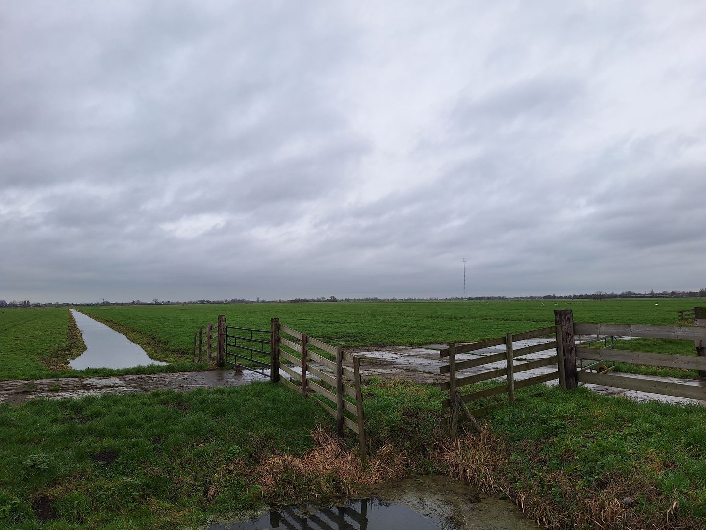
Het zijn 6 percelen grond van ca. 560 meter lengte. Er zijn 3 dammen met hekwerk aan de (onverharde) Tiendwg. Intern zijn de percelen ook ontsloten, 4 oostelijk zowel voor als achter. Aan de zuidzijde ligt een ca. 4 meter breed pad van stelconbetonplaten, lengte ca. 130 meter.
Op de bodemkaart zijn de percelen aangemerkt als: Kalkloze drechtvaaggronden Rv01C en Kalkloze poldervaaggronden, Rn44Cv.
De bestemming is agrarisch, zonder bebouwingsmogelijkheden.
Tiendweg, Lopik
Kadastraal bekend gemeente Lopik, sectie G nummers 1147, 1148 en 1155.
Het zijn 6 percelen grond van ca. 560 meter lengte. Er zijn 3 dammen met hekwerk aan de (onverharde) Tiendwg. Intern zijn de percelen ook ontsloten, 4 oostelijk zowel voor als achter. Aan de zuidzijde ligt een ca. 4 meter breed pad van stelconbetonplaten, lengte ca. 130 meter.
Op de bodemkaart zijn de percelen aangemerkt als: Kalkloze drechtvaaggronden Rv01C en Kalkloze poldervaaggronden, Rn44Cv.
De bestemming is agrarisch, zonder bebouwingsmogelijkheden.
Involved real estate agent
Map
Map is loading...

Cadastral boundaries
Buildings
Travel time
Gain insight into the reachability of this object, for instance from a public transport station or a home address.