

Sales history
- Listed since
- June 5, 2025
Description
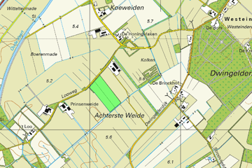
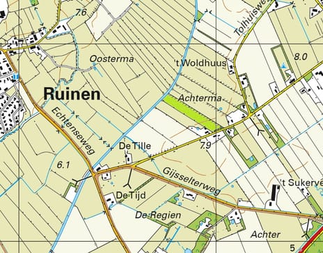
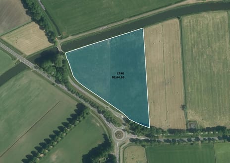
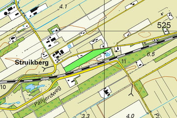
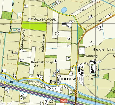
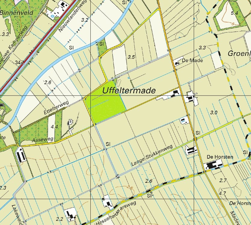
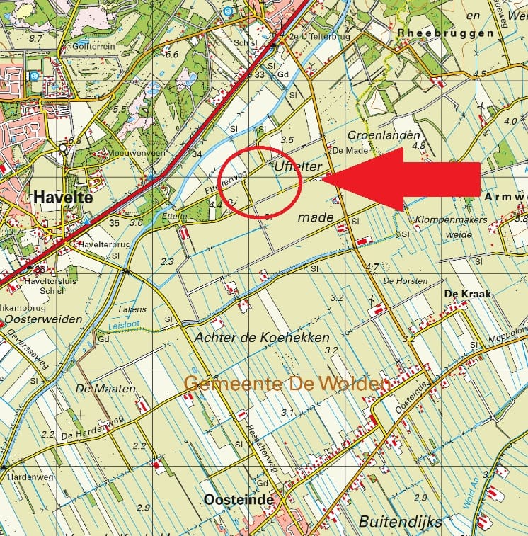
Omschrijving: Percelen cultuurgrond gelegen aan de Ruinerwoldseweg/Asseweg te Uffelte;
Oppervlakte: 09.47.86 ha;
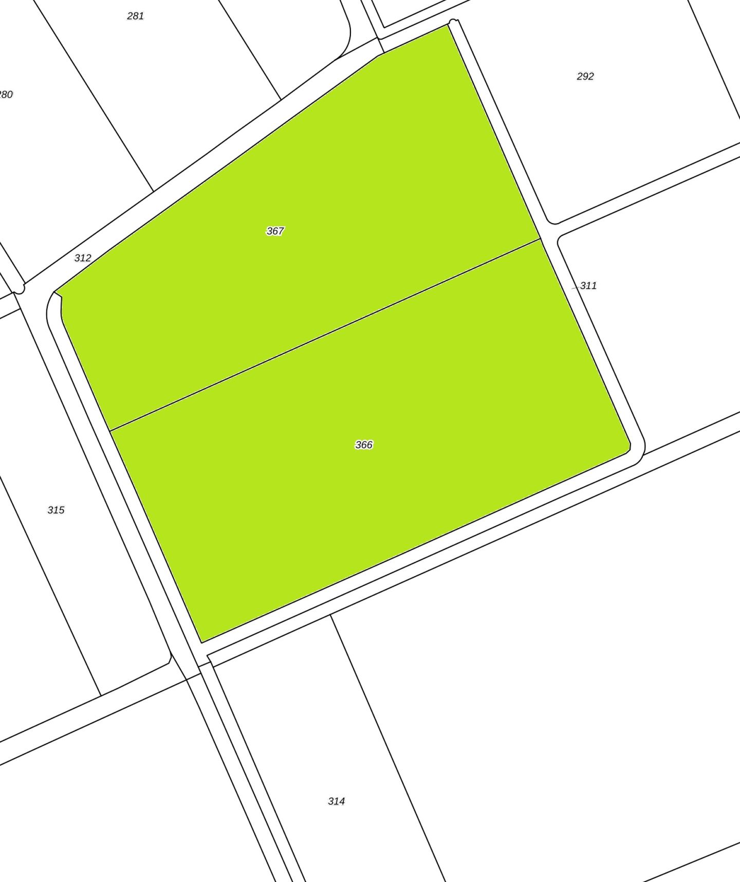
Kadastrale aanduiding:
Gemeente Havelte, sectie P, nummer 366, groot 05 ha 10 are 45 ca;
Gemeente Havelte, sectie P, nummer 367, groot 04 ha 37 are 41 ca;
Ruilverkaveling: Niet van toepassing;
Productierechten: Niet van toepassing;
Uitbetalingsrechten: Niet van toepassing;
Natura2000: Niet van toepassing;
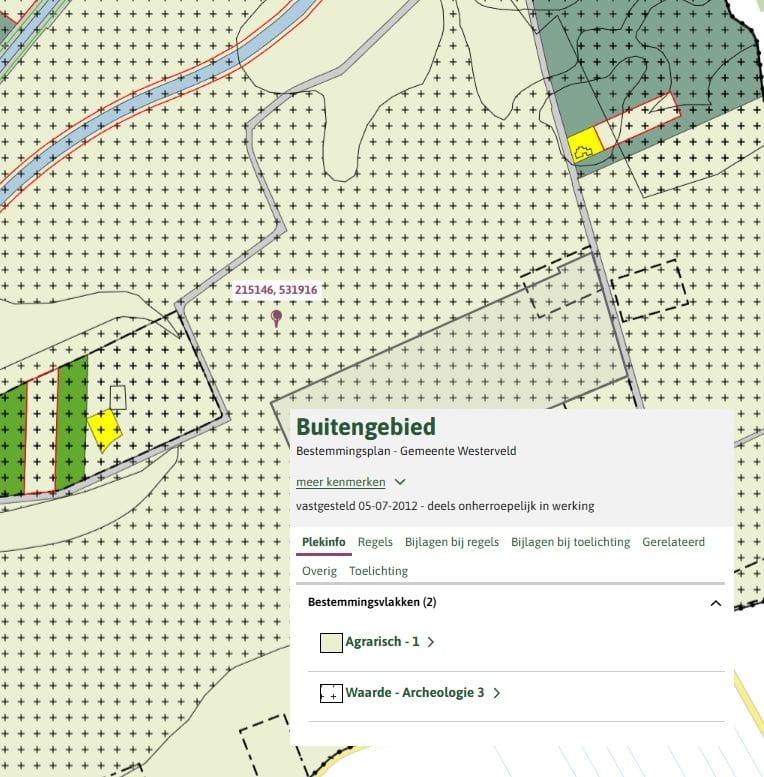
Bestemmingsplan: Enkelbestemming Agrarisch 1, Dubbelbestemming Waarde – Archeologie 3;
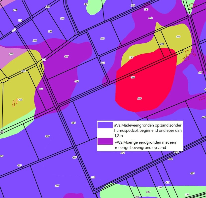
Bodem: Madeveengronden en moerige eerdgronden;
Kettingbeding: Overdrachtsbelasting i.v.m. verkoop binnen 10 jaar.
Oppervlakte: 09.47.86 ha;
Kadastrale aanduiding:
Gemeente Havelte, sectie P, nummer 366, groot 05 ha 10 are 45 ca;
Gemeente Havelte, sectie P, nummer 367, groot 04 ha 37 are 41 ca;
Ruilverkaveling: Niet van toepassing;
Productierechten: Niet van toepassing;
Uitbetalingsrechten: Niet van toepassing;
Natura2000: Niet van toepassing;
Bestemmingsplan: Enkelbestemming Agrarisch 1, Dubbelbestemming Waarde – Archeologie 3;
Bodem: Madeveengronden en moerige eerdgronden;
Kettingbeding: Overdrachtsbelasting i.v.m. verkoop binnen 10 jaar.
Involved real estate agent
Map
Map is loading...

Cadastral boundaries
Buildings
Travel time
Gain insight into the reachability of this object, for instance from a public transport station or a home address.