

Description
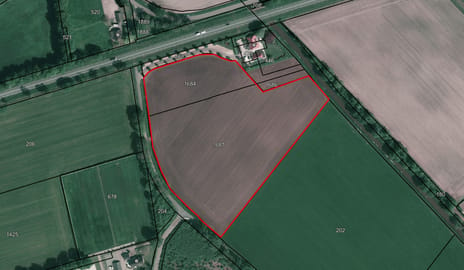
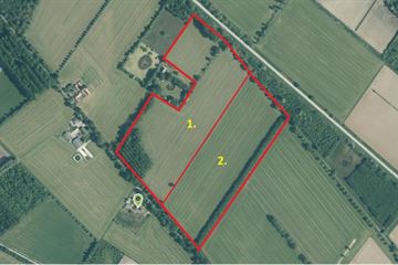
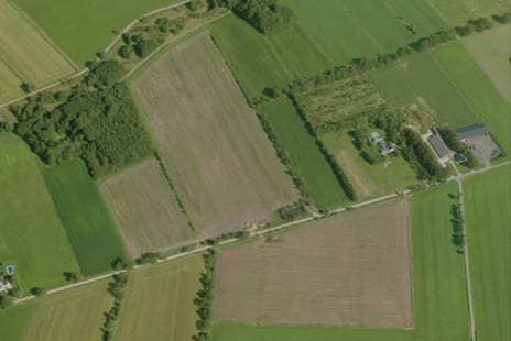
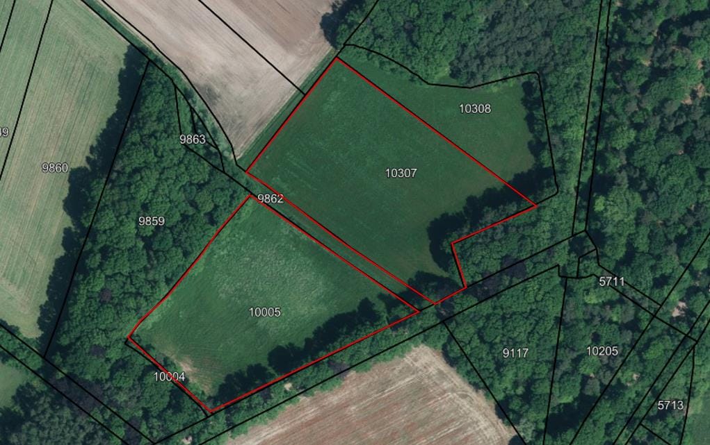
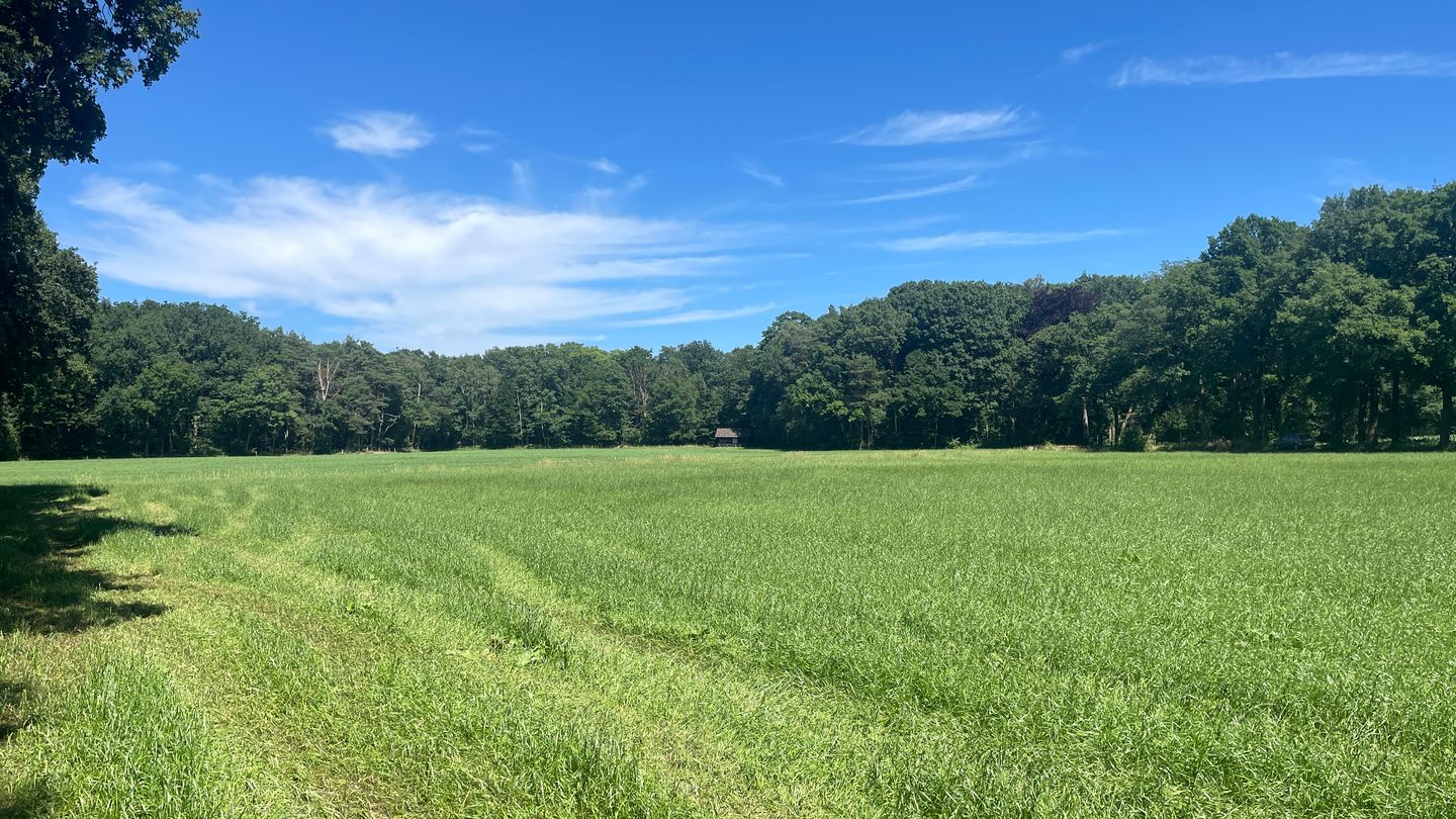
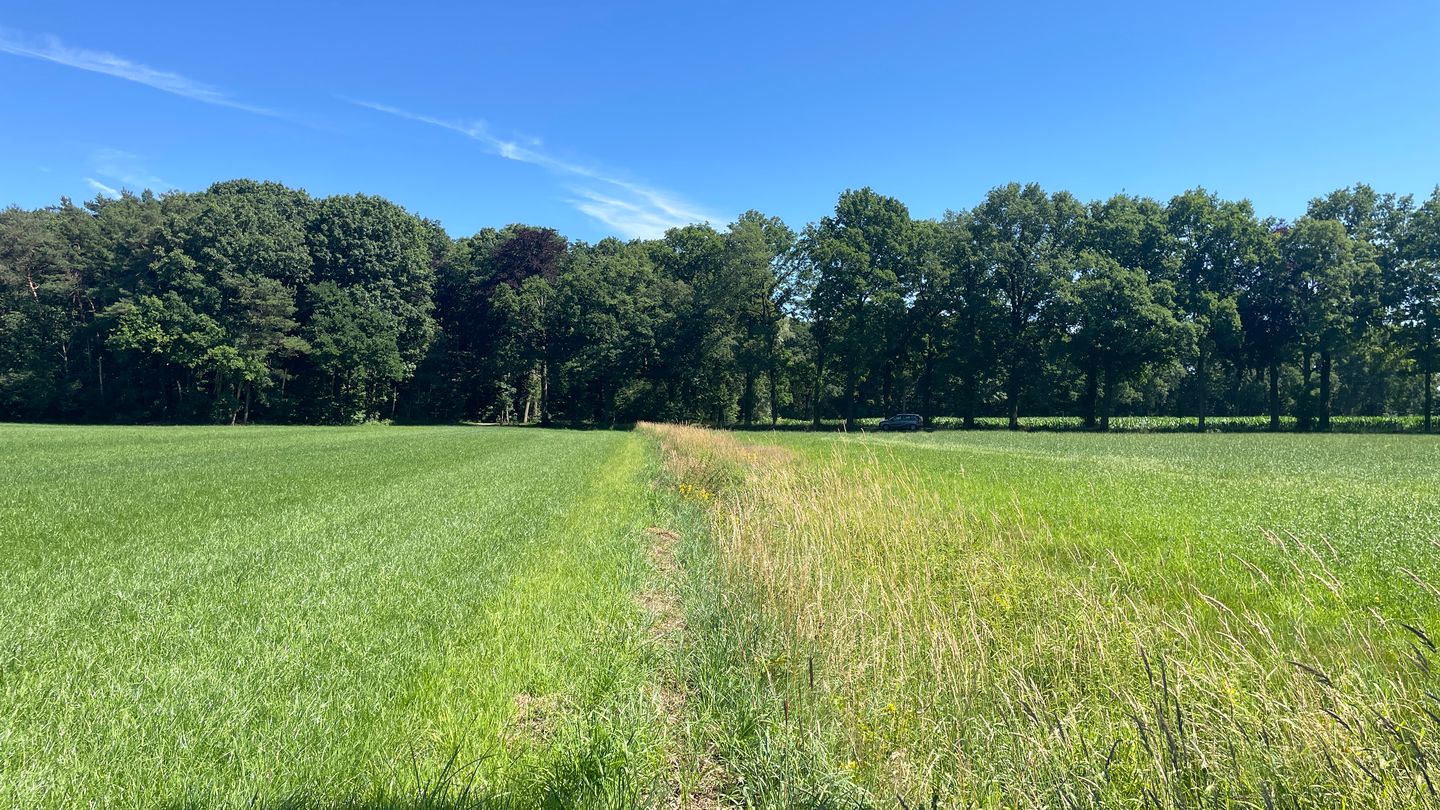
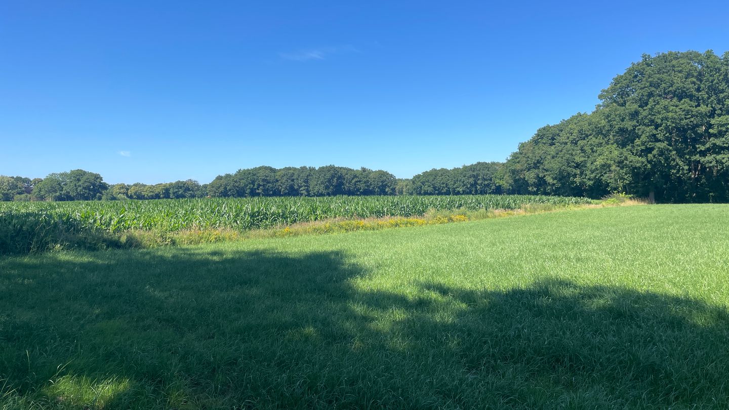
Twee percelen landbouwgrond aan de Langediek in Winterswijk Woold
• Totale kadastrale oppervlakte (10.795 en 11.415 =) 22.210 m²
• Kadastraal bekend Gemeente Winterswijk, Sectie E, nummers 10005 en 10307
• Grondsoort: Veldpodzolgronden; leemarm en zwak lemig fijn zand (Hn21KX)
Grondwatertrap V
• Bestemming: Agrarisch – Cultuurlandschap met waarden
Archeologische verwachting 4
Specifieke vorm van agrarisch met Waarden:
openheid
hoogteverschillen
• Er rusten waterschaplasten op het perceel
• Er rusten geen ruilverkavelingslasten op het perceel
• Op perceel 10307 rust een recht van overpad ten behoeve van een achterliggend perceel met stal/berging
(over een strook van 4 meter)
• De levering vindt plaats in de feitelijke staat
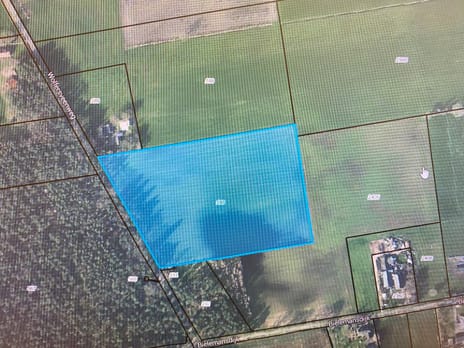
Map
Map is loading...

Cadastral boundaries
Buildings
Travel time
Gain insight into the reachability of this object, for instance from a public transport station or a home address.