
Description
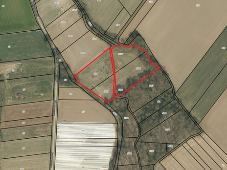
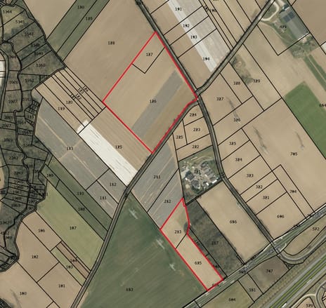
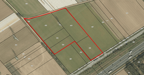
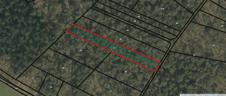
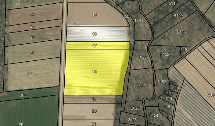
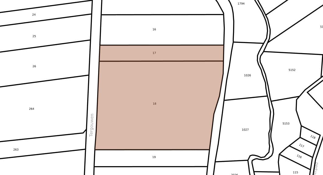
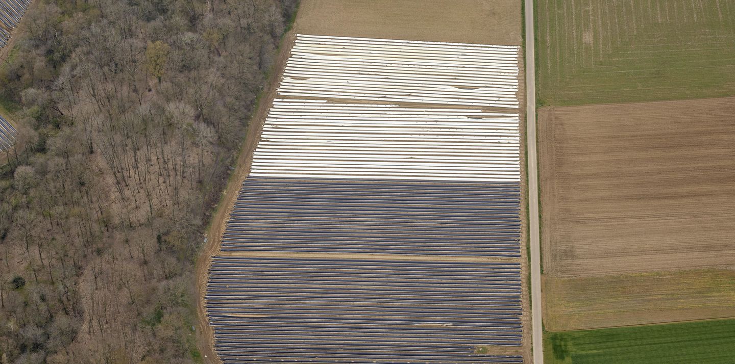
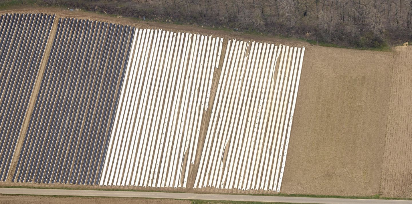
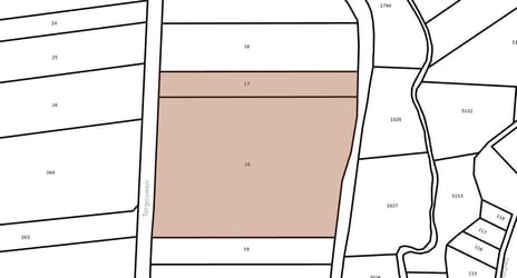
In het buitengebied van Maasbracht bieden wij u een perceel landbouwgrond aan van circa 0.99.35 ha.
Het perceel is gelegen aan de Heitissenweg te Maasbracht, aan een verharde weg.
De bodem bestaat uit Vlakvaaggronden; lemig fijn zand en Vlakvaaggronden; leemarm en zwak lemig fijn zand.
Planologisch:
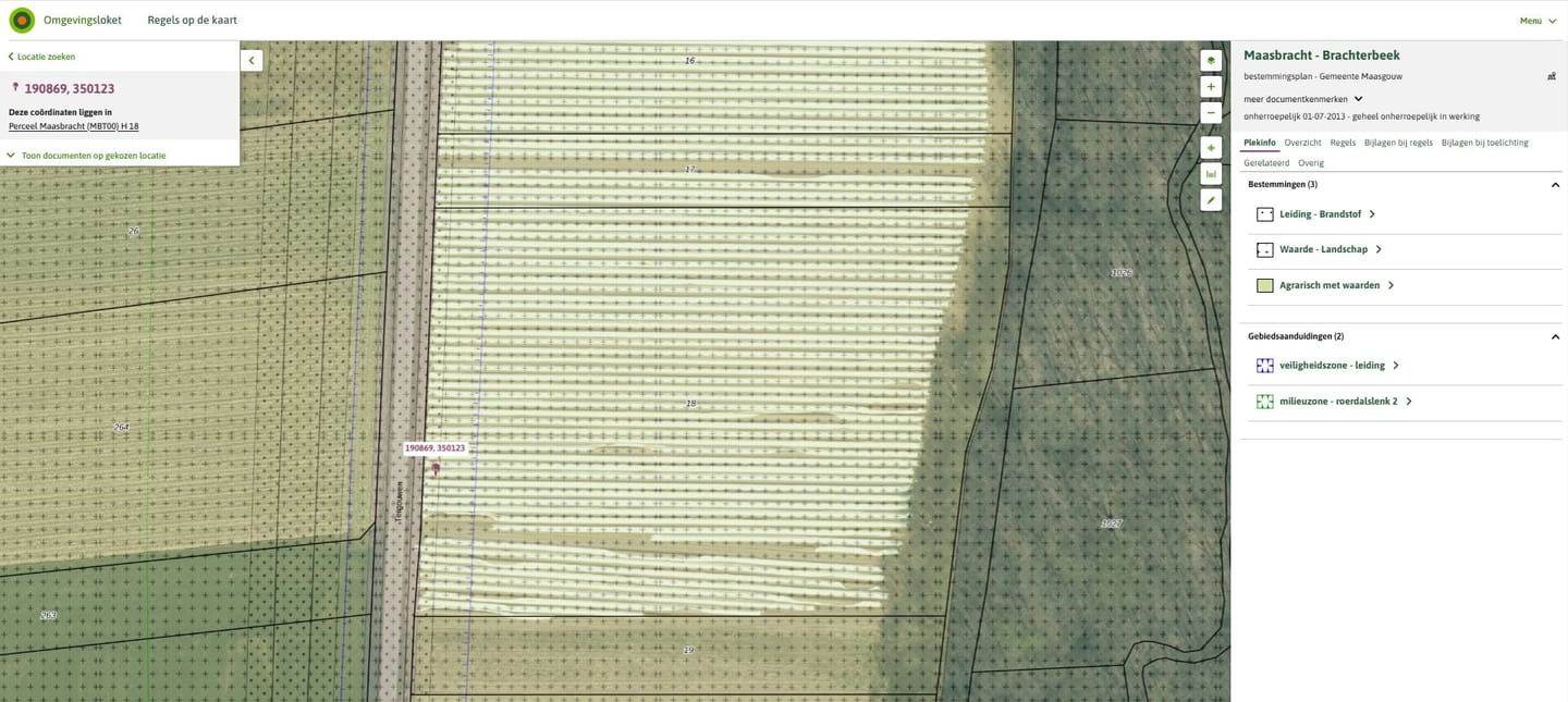
Het perceel is gelegen in het bestemmingsplan ‘Maasbracht - Brachterbeek’ van de gemeente Maasgouw. Binnen dit bestemmingsplan heeft het perceel momenteel de enkelbestemming ‘Agrarisch met waarden’, deels de dubbelbestemming ‘Leiding - Brandstof’ en deels ‘Waarde - Landschap’, de gebiedsaanduidingen ‘Veiligheidszone - leiding’ en ‘Milieuzone - roerdalslenk 2’.
Kadastrale gegevens:
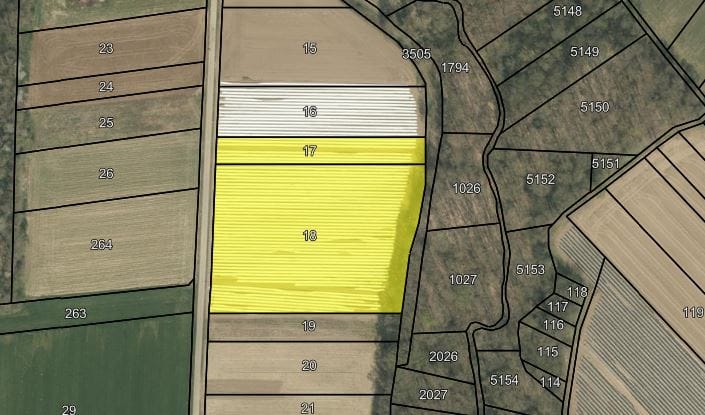
Het perceel is kadastraal bekend als gemeente Maasbracht, sectie H, nummers 17 en 18, tezamen ter grootte van 0.99.35 hectare.
Aanvaarding in overleg.
Het perceel is gelegen aan de Heitissenweg te Maasbracht, aan een verharde weg.
De bodem bestaat uit Vlakvaaggronden; lemig fijn zand en Vlakvaaggronden; leemarm en zwak lemig fijn zand.
Planologisch:
Het perceel is gelegen in het bestemmingsplan ‘Maasbracht - Brachterbeek’ van de gemeente Maasgouw. Binnen dit bestemmingsplan heeft het perceel momenteel de enkelbestemming ‘Agrarisch met waarden’, deels de dubbelbestemming ‘Leiding - Brandstof’ en deels ‘Waarde - Landschap’, de gebiedsaanduidingen ‘Veiligheidszone - leiding’ en ‘Milieuzone - roerdalslenk 2’.
Kadastrale gegevens:
Het perceel is kadastraal bekend als gemeente Maasbracht, sectie H, nummers 17 en 18, tezamen ter grootte van 0.99.35 hectare.
Aanvaarding in overleg.

Map
Map is loading...

Cadastral boundaries
Buildings
Travel time
Gain insight into the reachability of this object, for instance from a public transport station or a home address.